Plant Hardiness Zone Maps
Canada's Plant Hardiness Zones
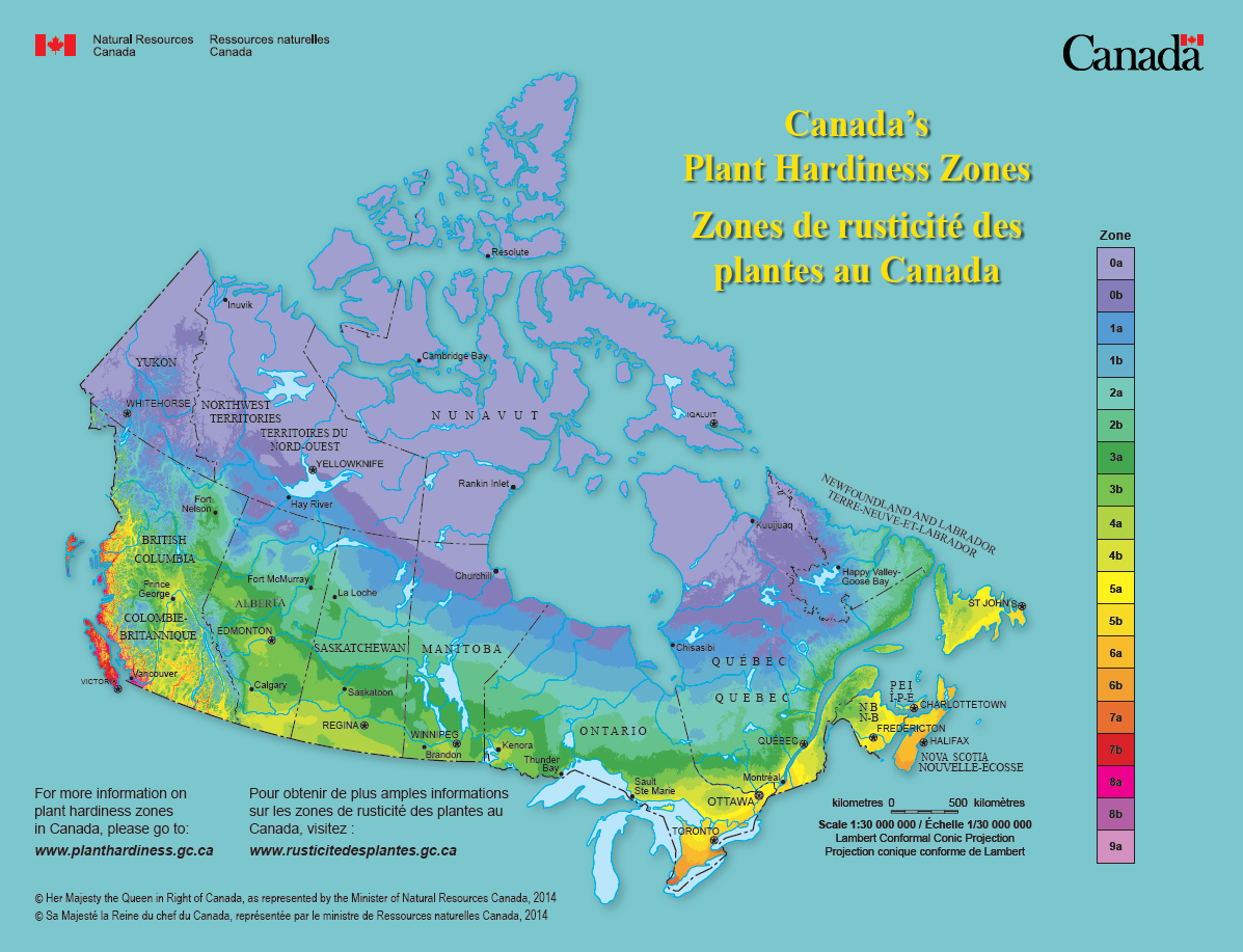
Canada's plant hardiness map provides insights about what can grow where. It combines information about a variety of climatic conditions across the entire country to produce a single map. The original map was developed in the 1960's for trees and shrubs. We have produced several updates to this map using extensive climate data and modern interpolation techniques (details).
Go to the interactive mapper by choosing one of the options below:
Extreme Minimum Temperature Zones

We have also produced maps that show plant hardiness zones for Canada based on the USDA extreme minimum temperature approach (details).
Go to the interactive mapper by choosing one of the options below:
- Date modified: