Canada's Plant Hardiness Site
Canada's Plant Hardiness Zones
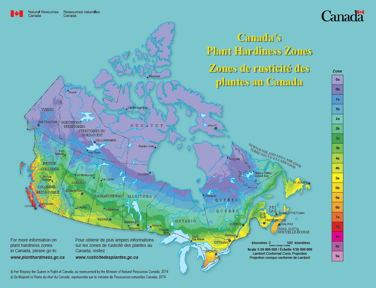
Canada's plant hardiness map provides insights about what can grow where. It combines information about a variety of climatic conditions across the entire country to produce a single map. The original map was developed in the 1960's for trees and shrubs. We have produced several updates to this map using extensive climate data and modern interpolation techniques.
- Background
- Details on plant hardiness calculations
- Plant Hardiness Zone by Municipality
- Projected climate envelope shifts for 130 tree species
Go to the interactive mapper by choosing one of the options below:
- 1991-2020 (2025 update) PDF download
- 1981-2010 (2014 update)
- 1961-1990 (2000 update)
Extreme Minimum Temperature Zones

We have also produced maps that show plant hardiness zones for Canada based on the USDA extreme minimum temperature approach (details).